-

Netherton, new house on old ruin
-
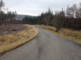
Minor road in Badfluich Wood
Netherton, new house on old ruin
Minor road in Badfluich Wood
Location and coordinates are for the approximate centre of Netherton Wood within this administrative area. Geographic features and populated places may cross administrative borders.