-

Gateway at Nether Worton
-
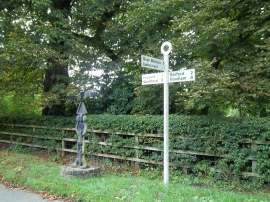
Pointing the way
Gateway at Nether Worton
Pointing the way
Other current and historical names
Location and coordinates are for the approximate centre of Nether Worton within this administrative area. Geographic features and populated places may cross administrative borders.