-
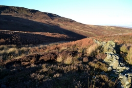
On Nether Moor looking to Crookstone Knoll
-
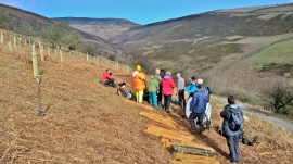
Volunteers prepare to plant hundreds of trees in Jaggers Clough
On Nether Moor looking to Crookstone Knoll
Volunteers prepare to plant hundreds of trees in Jaggers Clough
Location and coordinates are for the approximate centre of Nether Moor within this administrative area. Geographic features and populated places may cross administrative borders.