-
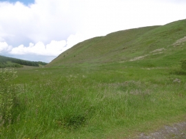
East side of Neilston Pad
-
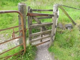
Gate on Neilston Pad track
East side of Neilston Pad
Gate on Neilston Pad track
Location and coordinates are for the approximate centre of Neilston Pad within this administrative area. Geographic features and populated places may cross administrative borders.