-

Coastal path looking west
-
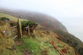
Gate and signpost, South West Coast Path
Coastal path looking west
Gate and signpost, South West Coast Path
Location and coordinates are for the approximate centre of Neck Wood Gut within this administrative area. Geographic features and populated places may cross administrative borders.