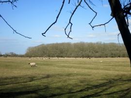
Navigation Spinney, Buckinghamshire

« Gazetteer Entry
Upload Photo

Navigation Spinney, Buckinghamshire

  • Parish/Community: Wotton Underwood
  • District/Borough: Aylesbury Vale
  • County: Buckinghamshire
  • Region: South East
  • Category: Landcover
  • Type: Forest or Wood
  • Latitude/Longitude: 51°50'2"N 0°59'39"W
  • Eastings/Northings: 469396, 215532
  • OS Grid: SP693155
  • Mapcode Local: GBR 9ZN.TPR
  • Mapcode Global: VHDV1.Q569

Location and coordinates are for the approximate centre of Navigation Spinney within this administrative area. Geographic features and populated places may cross administrative borders.

BritishPlaceNames.uk is a Good Stuff website.