-
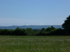
Land with a view near Viewlands Farm
-
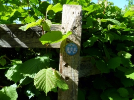
Waymark of the Sussex Ouse Valley Way on a post at Nash Farm
Land with a view near Viewlands Farm
Waymark of the Sussex Ouse Valley Way on a post at Nash Farm
Location and coordinates are for the approximate centre of Nashgill Wood within this administrative area. Geographic features and populated places may cross administrative borders.