-

Blood Moss and Naron Hill
-
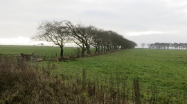
Line of trees, Naron Hill
Blood Moss and Naron Hill
Line of trees, Naron Hill
Location and coordinates are for the approximate centre of Naron Hill Plantation within this administrative area. Geographic features and populated places may cross administrative borders.