-
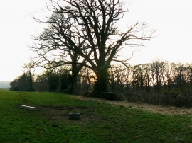
Trees, Hollington Lane, Highclere
-
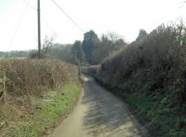
Hollington Lane southeast of Kingham Farm
Trees, Hollington Lane, Highclere
Hollington Lane southeast of Kingham Farm
Location and coordinates are for the approximate centre of Narington Copse within this administrative area. Geographic features and populated places may cross administrative borders.