-
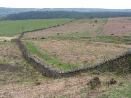
Upland walls near Mountain Ash
-
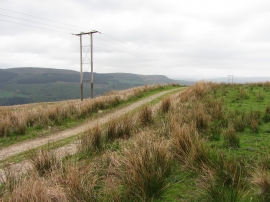
Upland track above Mountain Ash
Upland walls near Mountain Ash
Upland track above Mountain Ash
Location and coordinates are for the approximate centre of Nant yr Ysfa within this administrative area. Geographic features and populated places may cross administrative borders.