-
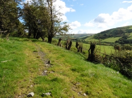
Glyndwr's Way near Dolwen
-
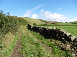
Glyndwr's Way near Dolwen
Glyndwr's Way near Dolwen
Glyndwr's Way near Dolwen
Location and coordinates are for the approximate centre of Nant Ffriddycastell within this administrative area. Geographic features and populated places may cross administrative borders.