-
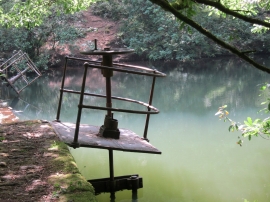
Valve on the old dam at Craig yr Aber
-
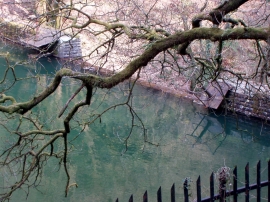
Disused Dam
Valve on the old dam at Craig yr Aber
Disused Dam
Location and coordinates are for the approximate centre of Nant Craigyraber within this administrative area. Geographic features and populated places may cross administrative borders.