-

Ordnance Survey Flush Bracket 11192
-
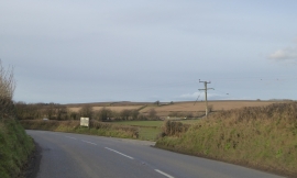
Nadrid Cross
Ordnance Survey Flush Bracket 11192
Nadrid Cross
Location and coordinates are for the approximate centre of Nadrid Copse within this administrative area. Geographic features and populated places may cross administrative borders.