-
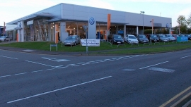
Listers Volkswagen Leamington Spa
-
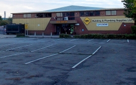
BPS, Leamington Spa
Listers Volkswagen Leamington Spa
BPS, Leamington Spa
Other current and historical names
Location and coordinates are for the approximate centre of Myton within this administrative area. Geographic features and populated places may cross administrative borders.