-

Bends in the A507 near Cumberlow Green
-
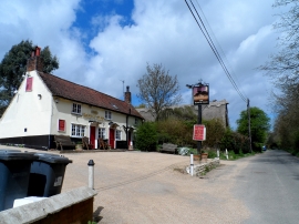
Moon and Stars pub
Bends in the A507 near Cumberlow Green
Moon and Stars pub
Location and coordinates are for the approximate centre of Munches Wood within this administrative area. Geographic features and populated places may cross administrative borders.