-
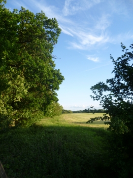
The edge of Mucklands Wood
-
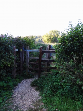
Wooden kissing gate near Marholm
The edge of Mucklands Wood
Wooden kissing gate near Marholm
Location and coordinates are for the approximate centre of Mucklands Wood within this administrative area. Geographic features and populated places may cross administrative borders.