-

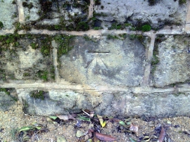
Benchmark on roadside wall of #24 Chandos Road
-
Benchmark on wall at junction of Hunter Street and Manor Street
Benchmark on roadside wall of #24 Chandos Road
Benchmark on wall at junction of Hunter Street and Manor Street
Other current and historical names
Location and coordinates are for the approximate centre of Mount Pleasant within this administrative area. Geographic features and populated places may cross administrative borders.