-
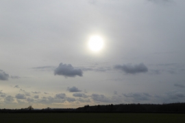
Winter sky above The Holt
-
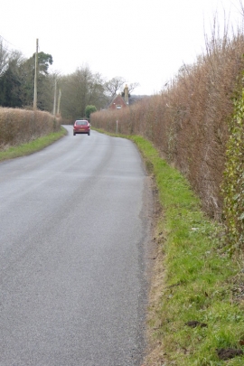
Looking west on Treadwheel Road
Winter sky above The Holt
Looking west on Treadwheel Road
Location and coordinates are for the approximate centre of Motleys Copse within this administrative area. Geographic features and populated places may cross administrative borders.