-
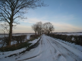
Cowpasture Lane looking east
-
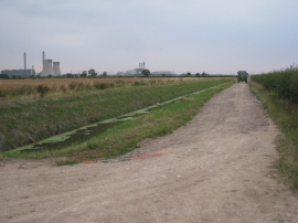
Middle Lane and Mother Drain
Cowpasture Lane looking east
Middle Lane and Mother Drain
Location and coordinates are for the approximate centre of Mother Drain within this administrative area. Geographic features and populated places may cross administrative borders.