-
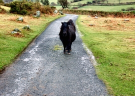
Shetland ponies on Dartmoor.
-
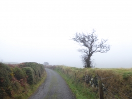
Tree by the road to Lower Halstock farm
Shetland ponies on Dartmoor.
Tree by the road to Lower Halstock farm
Location and coordinates are for the approximate centre of Moor Brook within this administrative area. Geographic features and populated places may cross administrative borders.