-
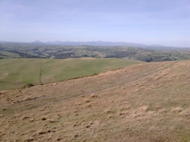
Snowdonia from Moel Fodiar
-
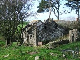
Abandoned Farmhouse on the slopes of Moel Fodiar
Snowdonia from Moel Fodiar
Abandoned Farmhouse on the slopes of Moel Fodiar
Location and coordinates are for the approximate centre of Moel Fodiar within this administrative area. Geographic features and populated places may cross administrative borders.