-
On the banks of the Soar
-

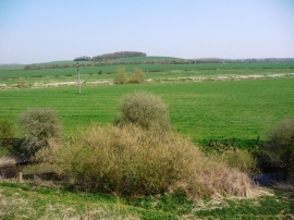
Green and gold on the border, near Stanford on Soar
On the banks of the Soar
Green and gold on the border, near Stanford on Soar
Location and coordinates are for the approximate centre of Moat Hill Spinney within this administrative area. Geographic features and populated places may cross administrative borders.