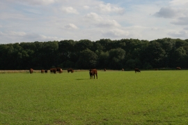
Moat Garth Plantation, Lincolnshire

« Gazetteer Entry
Upload Photo

Moat Garth Plantation, Lincolnshire

  • Parish/Community: Great Steeping
  • District/Borough: East Lindsey
  • County: Lincolnshire
  • Region: East Midlands
  • Category: Landcover
  • Type: Forest or Wood
  • Latitude/Longitude: 53°10'11"N 0°10'0"E
  • Eastings/Northings: 544937, 365836
  • OS Grid: TF449658
  • Mapcode Local: GBR LX2.70F
  • Mapcode Global: WHJLZ.JLN7

Location and coordinates are for the approximate centre of Moat Garth Plantation within this administrative area. Geographic features and populated places may cross administrative borders.

BritishPlaceNames.uk is a Good Stuff website.