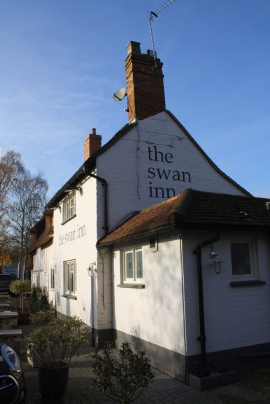
Milton Keynes Village, Milton Keynes

« Gazetteer Entry
Upload Photo

Milton Keynes Village, Milton Keynes

  • Built-Up Area: Milton Keynes
  • Parish/Community: Milton Keynes
  • Unitary Authority: Milton Keynes
  • Region: South East
  • Category: Populated Place
  • Type: Suburban Area
  • Latitude/Longitude: 52°2'32"N 0°42'14"W
  • Eastings/Northings: 488975, 239013
  • OS Grid: SP889390
  • Mapcode Local: GBR D05.W8K
  • Mapcode Global: VHDT1.RX3P

Location and coordinates are for the approximate centre of Milton Keynes Village within this administrative area. Geographic features and populated places may cross administrative borders.

BritishPlaceNames.uk is a Good Stuff website.