-
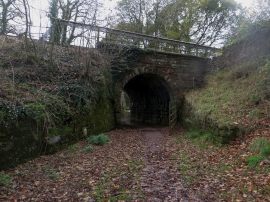
Footpath under the railway, Dalton Junction
-
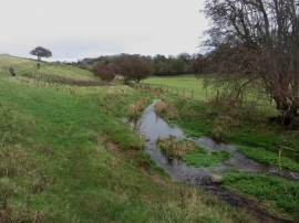
The Poaka Beck at Dalton Junction
Footpath under the railway, Dalton Junction
The Poaka Beck at Dalton Junction
Location and coordinates are for the approximate centre of Mill Wood within this administrative area. Geographic features and populated places may cross administrative borders.