-
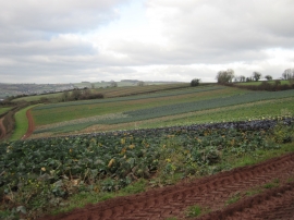
Colourful Strips of Brassicas from Forches Hill
-
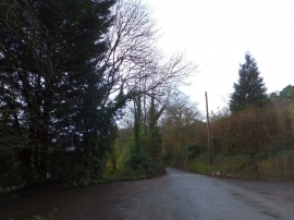
At Charlecombe on the road to Combeinteignhead
Colourful Strips of Brassicas from Forches Hill
At Charlecombe on the road to Combeinteignhead
Location and coordinates are for the approximate centre of Mill Bottom within this administrative area. Geographic features and populated places may cross administrative borders.