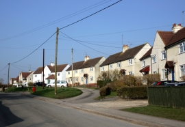
Mill Bottom, Basingstoke and Deane

« Gazetteer Entry
Upload Photo

Mill Bottom, Basingstoke and Deane

  • Built-Up Area: Lambourn
  • Parish/Community: Lambourn
  • Unitary Authority: Basingstoke and Deane
  • Region: South East
  • Category: Geographic Feature
  • Type: Valley
  • Latitude/Longitude: 51°30'30"N 1°31'8"W
  • Eastings/Northings: 433469, 178944
  • OS Grid: SU334789
  • Mapcode Local: GBR 6Z1.6S2
  • Mapcode Global: VHC1D.MC70

Location and coordinates are for the approximate centre of Mill Bottom within this administrative area. Geographic features and populated places may cross administrative borders.

BritishPlaceNames.uk is a Good Stuff website.