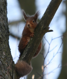
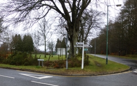
Migvie Wood, Angus

« Gazetteer Entry
Upload Photo

Migvie Wood, Angus

  • Unitary Authority: Angus
  • Region: Scotland
  • Category: Landcover
  • Type: Forest or Wood
  • Latitude/Longitude: 56°41'6"N 2°59'52"W
  • Eastings/Northings: 338964, 755257
  • OS Grid: NO389552
  • Mapcode Local: GBR VJ.LX5V
  • Mapcode Global: WH7QB.X7KG

Location and coordinates are for the approximate centre of Migvie Wood within this administrative area. Geographic features and populated places may cross administrative borders.

BritishPlaceNames.uk is a Good Stuff website.