-
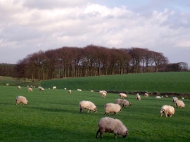
Meadow Plantation and some hardy sheep
-
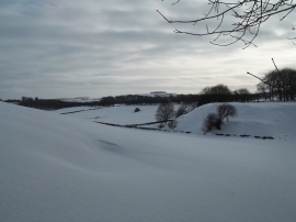
Snow Scene viewed from Green Lane
Meadow Plantation and some hardy sheep
Snow Scene viewed from Green Lane
Location and coordinates are for the approximate centre of Middle Oldhams Plantation within this administrative area. Geographic features and populated places may cross administrative borders.