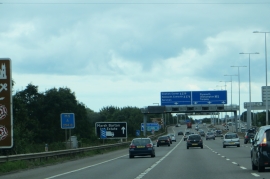
Middle Moor Plantation, Devon

« Gazetteer Entry
Upload Photo

Middle Moor Plantation, Devon

  • Built-Up Area: Exeter
  • Parish/Community: Exeter, unparished area
  • District/Borough: Exeter
  • County: Devon
  • Region: South West
  • Category: Landcover
  • Type: Forest or Wood
  • Latitude/Longitude: 50°43'23"N 3°27'49"W
  • Eastings/Northings: 296773, 92518
  • OS Grid: SX967925
  • Mapcode Local: GBR P3.0S3M
  • Mapcode Global: FRA 37M5.JC7

Location and coordinates are for the approximate centre of Middle Moor Plantation within this administrative area. Geographic features and populated places may cross administrative borders.

BritishPlaceNames.uk is a Good Stuff website.