-
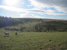
Deep Dale and Deepdale Head
-
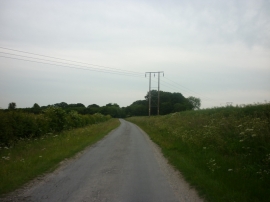
A minor road at Nunburnholme Wold
Deep Dale and Deepdale Head
A minor road at Nunburnholme Wold
Location and coordinates are for the approximate centre of Merebalk Plantation within this administrative area. Geographic features and populated places may cross administrative borders.