-
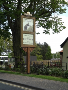
The Thatchers Needle Public House sign
-
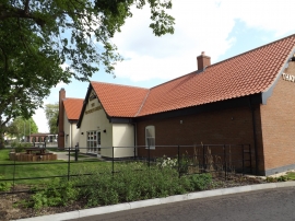
The Thatchers Needle Public House
The Thatchers Needle Public House sign
The Thatchers Needle Public House
Location and coordinates are for the approximate centre of The Mere within this administrative area. Geographic features and populated places may cross administrative borders.