-
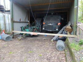
Scene at the Kelvedon Hatch Secret Nuclear Bunker
-
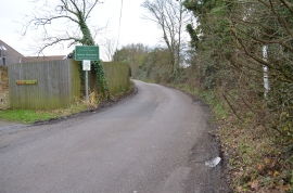
Public Footpath to Clapgate
Scene at the Kelvedon Hatch Secret Nuclear Bunker
Public Footpath to Clapgate
Location and coordinates are for the approximate centre of Menageria Wood within this administrative area. Geographic features and populated places may cross administrative borders.