-

Moraines in Glen Cuirnean
-
Glen Cuirnean flanks
Moraines in Glen Cuirnean
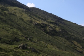
Glen Cuirnean flanks
Location and coordinates are for the approximate centre of Meall an Fhìr-Eòin within this administrative area. Geographic features and populated places may cross administrative borders.