-
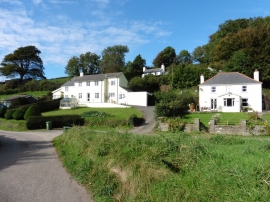
Houses at Stonecombe
-
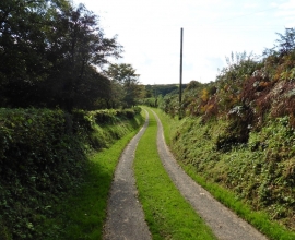
Track to Northcote Farm
Houses at Stonecombe
Track to Northcote Farm
Location and coordinates are for the approximate centre of Mattocks Down within this administrative area. Geographic features and populated places may cross administrative borders.