-
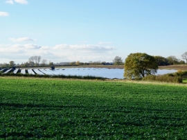
Rolleston Solar Farm
-
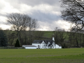
The Waterhouse, Alder Moor
Rolleston Solar Farm
The Waterhouse, Alder Moor
Location and coordinates are for the approximate centre of Matthew's Big Plantation within this administrative area. Geographic features and populated places may cross administrative borders.