-
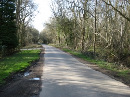
The road through Flisteridge Wood
-
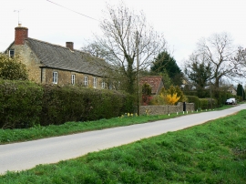
Yew Tree Cottage, Flistridge Road, Upper Minety
The road through Flisteridge Wood
Yew Tree Cottage, Flistridge Road, Upper Minety
Location and coordinates are for the approximate centre of Maskelyne's Copse within this administrative area. Geographic features and populated places may cross administrative borders.