-
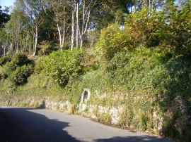
Recess/Alcove in wall near Llanstadwell Church - now used for flowers
-
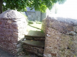
Llanstadwell Church - stile
Recess/Alcove in wall near Llanstadwell Church - now used for flowers
Llanstadwell Church - stile
Other current and historical names
Location and coordinates are for the approximate centre of Mascle Bridge within this administrative area. Geographic features and populated places may cross administrative borders.