-
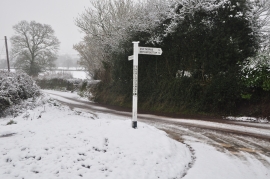
Mid Devon : Thurlescombe Cross
-
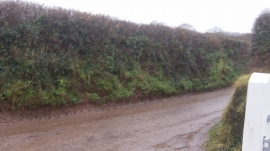
Mid Devon : Road in Warnicombe
Mid Devon : Thurlescombe Cross
Mid Devon : Road in Warnicombe
Location and coordinates are for the approximate centre of Manley within this administrative area. Geographic features and populated places may cross administrative borders.