-
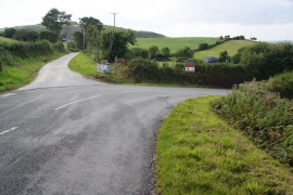
The road to Poppit Sands
-
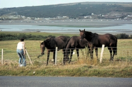
Cardigan, Ceredigion - 1984
The road to Poppit Sands
Cardigan, Ceredigion - 1984
Location and coordinates are for the approximate centre of Manian-fawr within this administrative area. Geographic features and populated places may cross administrative borders.