-
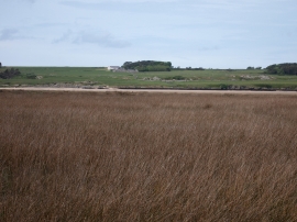
The Cefni Saltmarsh
-
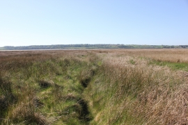
Salt Marsh at Malltraeth Sands
The Cefni Saltmarsh
Salt Marsh at Malltraeth Sands
Location and coordinates are for the approximate centre of Malltraeth Sands within this administrative area. Geographic features and populated places may cross administrative borders.