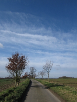
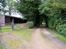
Maley's Plantation, Norfolk

« Gazetteer Entry
Upload Photo

Maley's Plantation, Norfolk

  • Built-Up Area: Colton
  • Parish/Community: Marlingford and Colton
  • District/Borough: South Norfolk
  • County: Norfolk
  • Region: Eastern
  • Category: Landcover
  • Type: Forest or Wood
  • Latitude/Longitude: 52°38'33"N 1°5'49"E
  • Eastings/Northings: 609633, 309482
  • OS Grid: TG096094
  • Mapcode Local: GBR TDN.864
  • Mapcode Global: WHLS6.TTLZ

Location and coordinates are for the approximate centre of Maley's Plantation within this administrative area. Geographic features and populated places may cross administrative borders.

BritishPlaceNames.uk is a Good Stuff website.