-
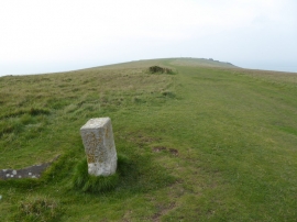
Looking west on the Tennyson Trail
-

The coastal path towards The Needles
Looking west on the Tennyson Trail
The coastal path towards The Needles
Location and coordinates are for the approximate centre of Main Bench within this administrative area. Geographic features and populated places may cross administrative borders.