-
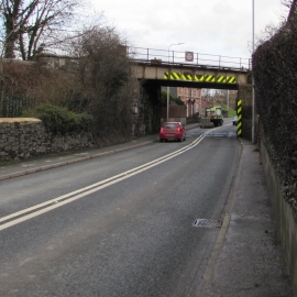
South side of Llanidloes Road railway bridge, Newtown
-

Ivydene and Glenville, Llanidloes Road, Newtown
South side of Llanidloes Road railway bridge, Newtown
Ivydene and Glenville, Llanidloes Road, Newtown
Other current and historical names
Location and coordinates are for the approximate centre of Maesyrhandir within this administrative area. Geographic features and populated places may cross administrative borders.