-
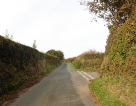
Turning for Muxworthy
-
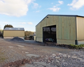
New outbuildings at Little Bray Farm
Turning for Muxworthy
New outbuildings at Little Bray Farm
Location and coordinates are for the approximate centre of Lydcott Wood within this administrative area. Geographic features and populated places may cross administrative borders.