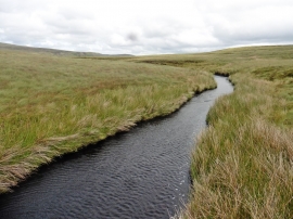
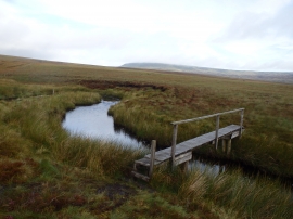
Lune Head Moss, County Durham

« Gazetteer Entry
Upload Photo

Lune Head Moss, County Durham

  • Parish/Community: Lunedale
  • Unitary Authority: County Durham
  • Region: North East
  • Category: Landcover
  • Type: Other Landcover
  • Latitude/Longitude: 54°35'26"N 2°16'15"W
  • Eastings/Northings: 382586, 521761
  • OS Grid: NY825217
  • Mapcode Local: GBR DHLC.44
  • Mapcode Global: WHB41.2WV2

Location and coordinates are for the approximate centre of Lune Head Moss within this administrative area. Geographic features and populated places may cross administrative borders.

BritishPlaceNames.uk is a Good Stuff website.