-
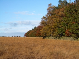
Rough pasture and autumn trees
-
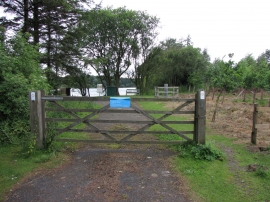
Lumley Moor Reservoir
Rough pasture and autumn trees
Lumley Moor Reservoir
Location and coordinates are for the approximate centre of Lumley Moor Plantation within this administrative area. Geographic features and populated places may cross administrative borders.