-
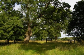
Ickworth Park: near Downter's Wood
-
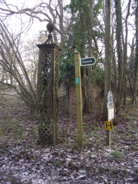
Two Signs One Gate Post
Ickworth Park: near Downter's Wood
Two Signs One Gate Post
Location and coordinates are for the approximate centre of Lownde Wood within this administrative area. Geographic features and populated places may cross administrative borders.