-
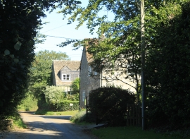
2012 : Main street, Lower Seagry
-
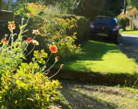
2012 : Helianthus at Lower Seagry
2012 : Main street, Lower Seagry
2012 : Helianthus at Lower Seagry
Other current and historical names
Location and coordinates are for the approximate centre of Lower Seagry within this administrative area. Geographic features and populated places may cross administrative borders.