-
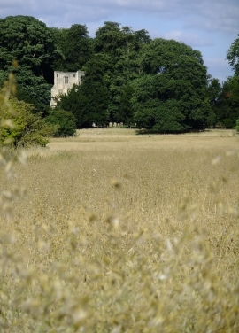
Thundridge Old Church seen across a field of oats
-
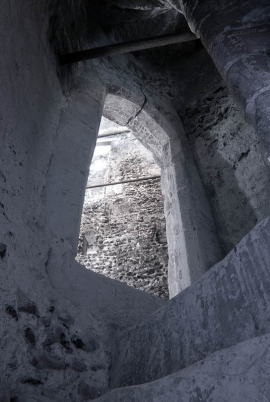
Cold Christmas Church
Thundridge Old Church seen across a field of oats
Cold Christmas Church
Location and coordinates are for the approximate centre of Lower Millfield Wood within this administrative area. Geographic features and populated places may cross administrative borders.